|
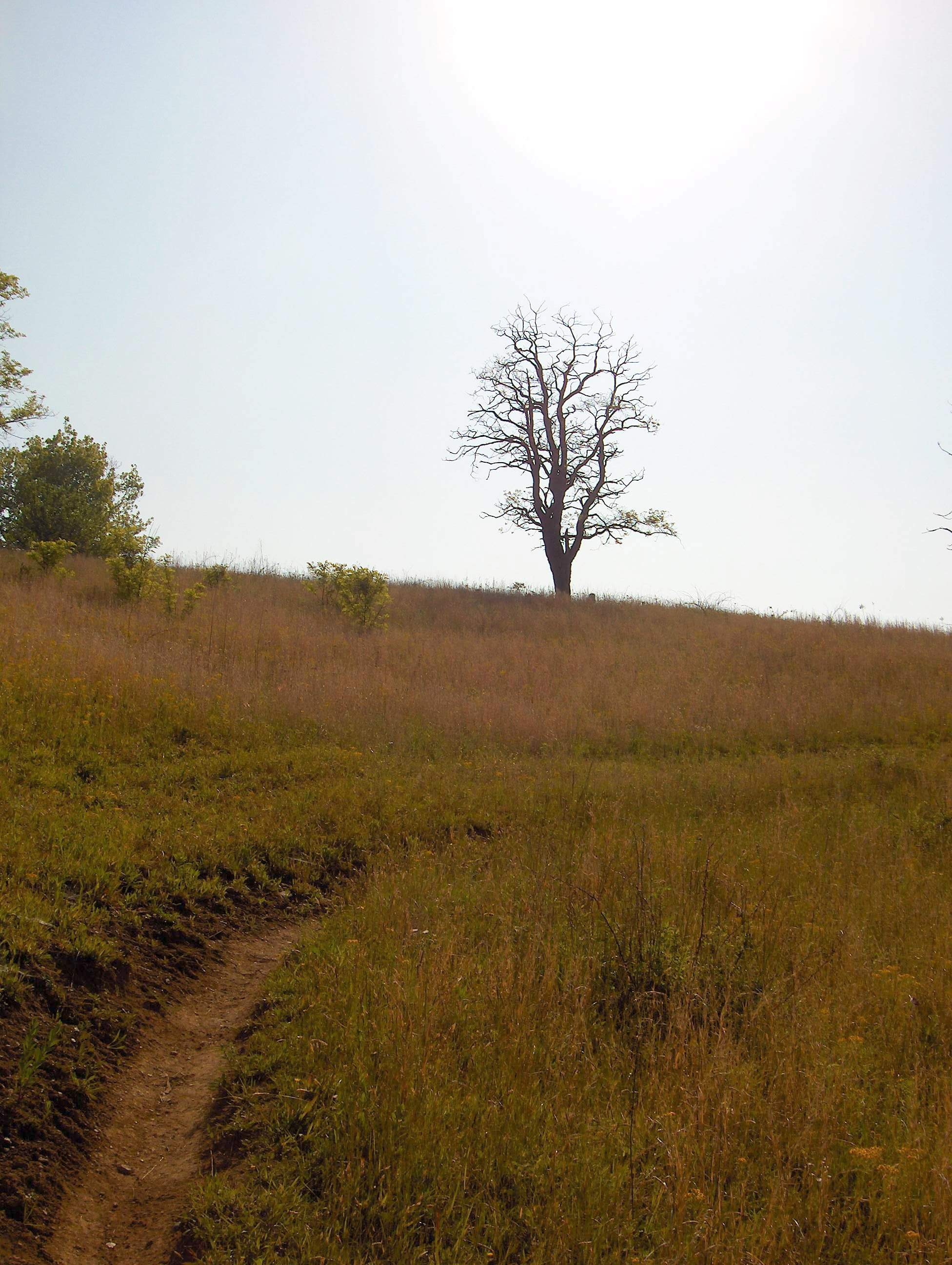
A dead tree in a high meadow along the highest point of the trail between 19E and
White Rocks Mountain.
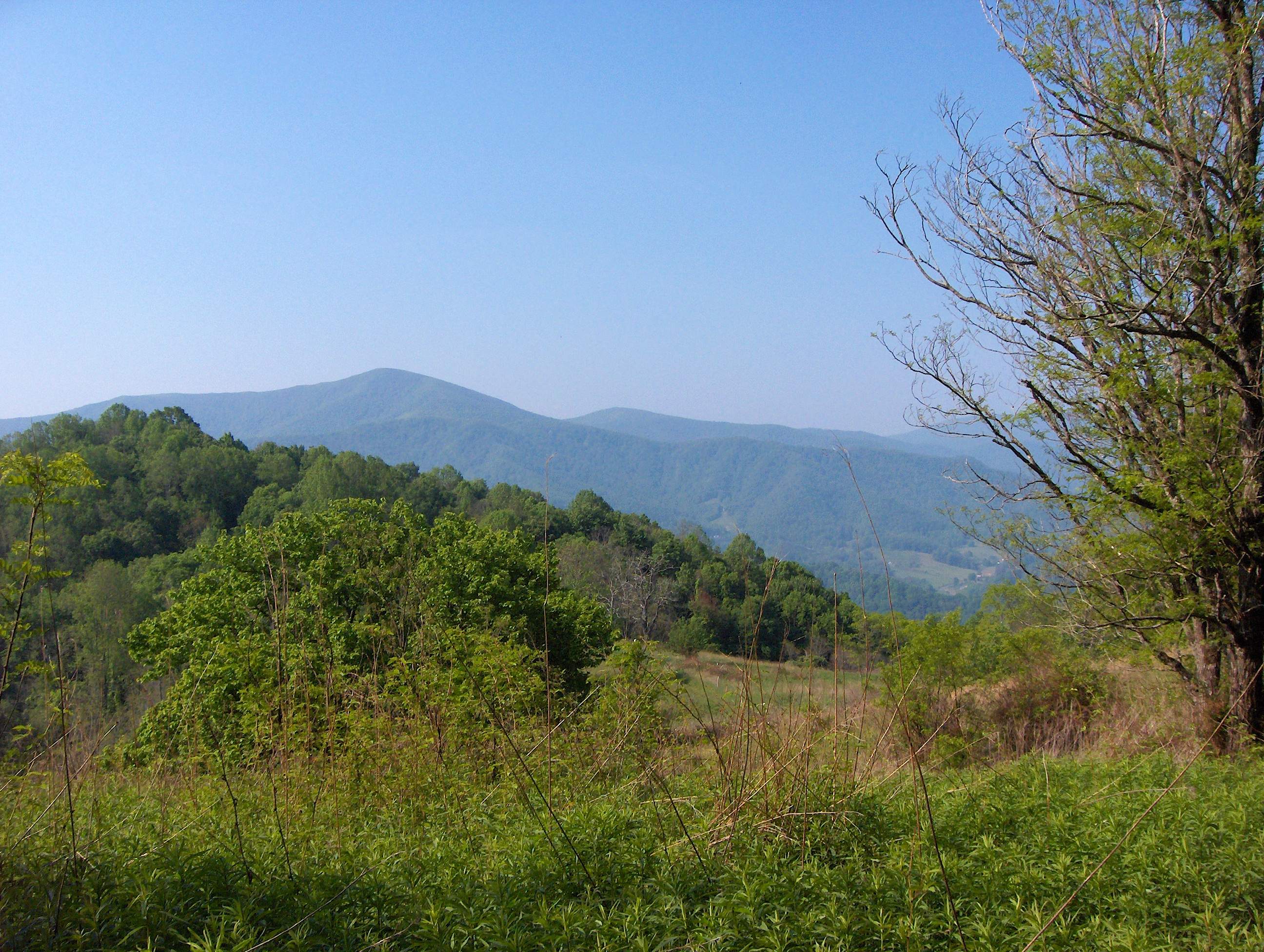
A good view of Hump Mountain with Roan Mountain looming in the background from
the high point near the previous picture.
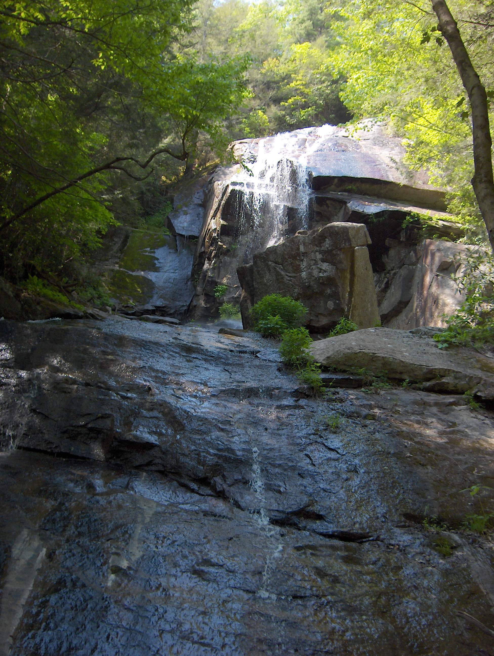
For most of the time, Jones Falls is a roaring
100 foot cascade. However, the drought that plauged the Southeast in 2007 reduced it to little more than a trickle.
This picture was taken looking up at a 30 to 45 degree angle to give you some idea of how big the falls actually are.
Splash Dam Falls on the Elk River is a short walk
away from the Trail. However, there is no marked trail to get to them and the only way to see these falls is through
a tangle of undergrowth. A nice pool exists for swimming and a rock beach for sunning or relaxing by the water.
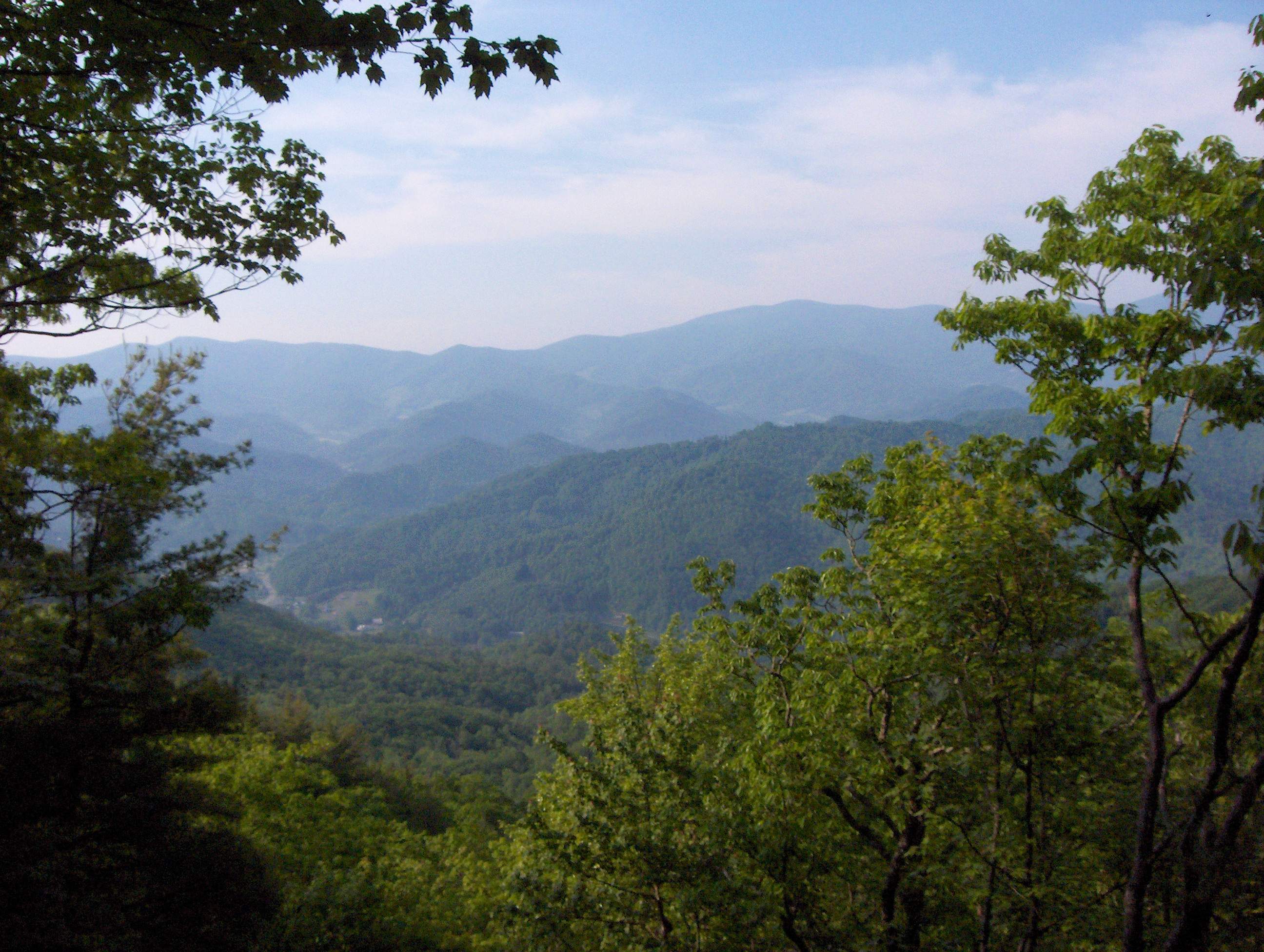
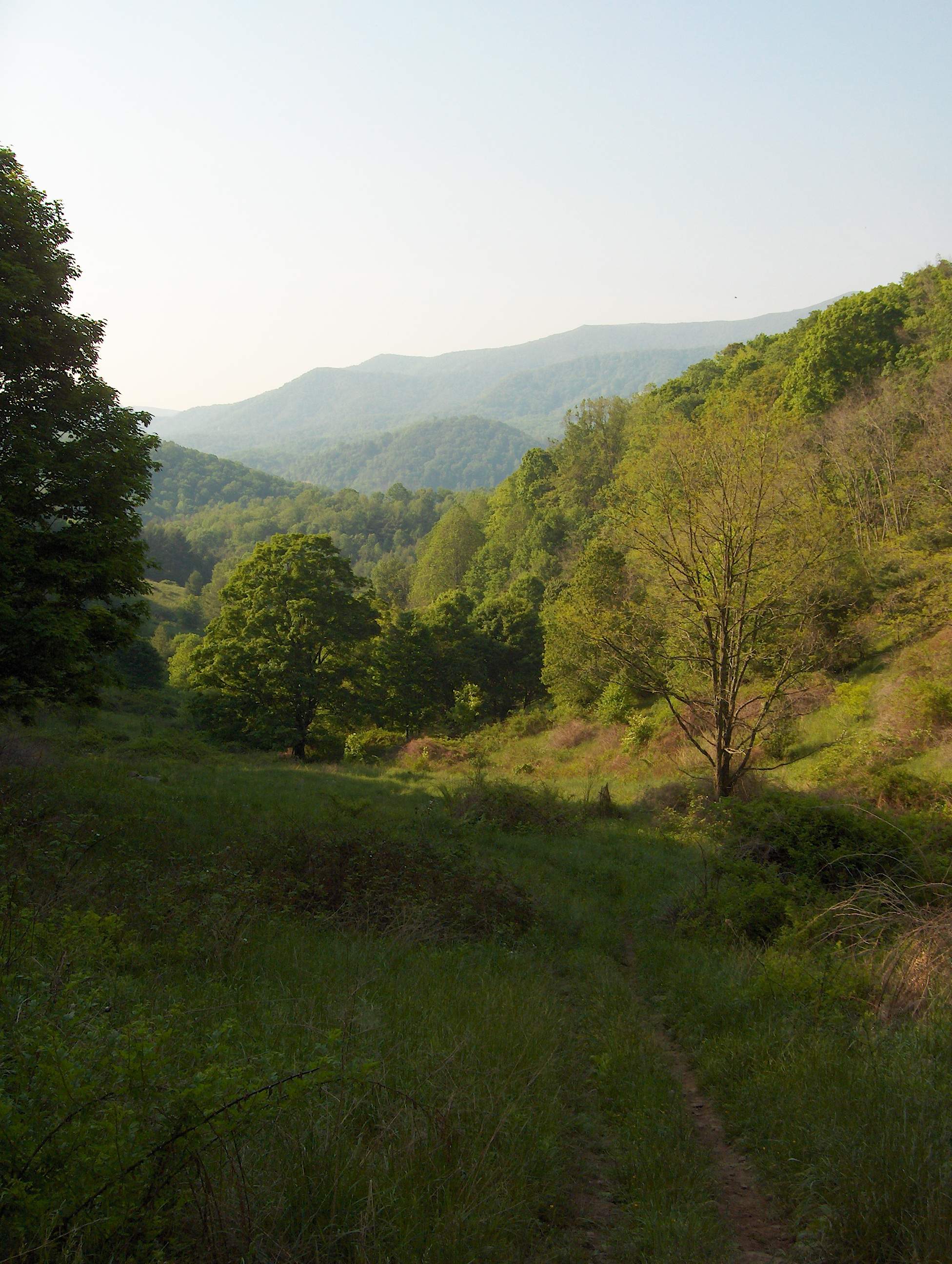
This view near the Moreland Gap Shelter offers one
of the few views along the major ridge in this section of the trail.
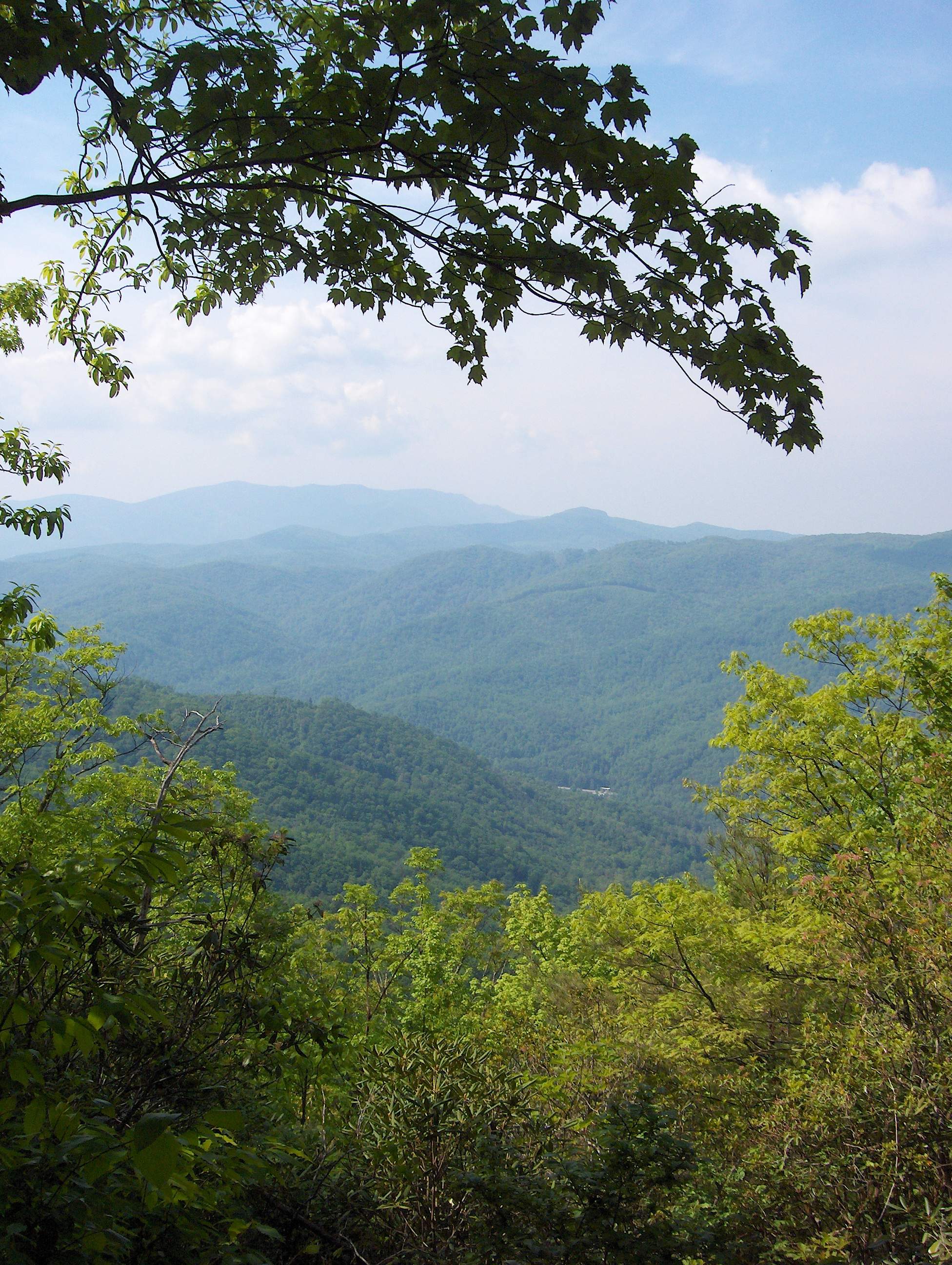
Looking North, this forest view gives a glimpse
of Dennis Cove in the valley far below and the mountains that the trail will eventually cross.
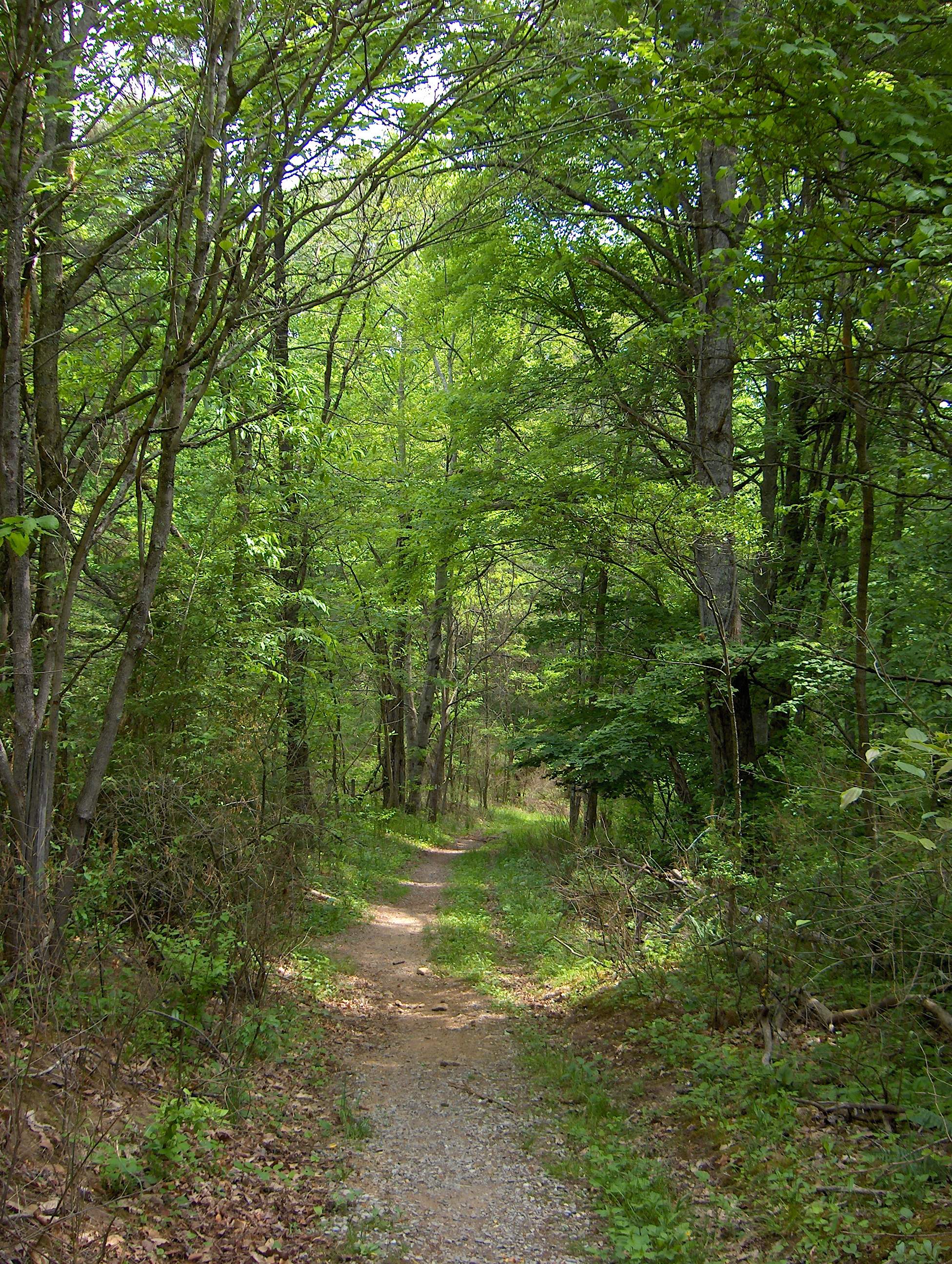
Here the trail follows the path of an old farm
road under a canopy of trees through Dennis Cove. Two different hostels exist in the cove and are well-known for the
service that they provide to thru-hikers.
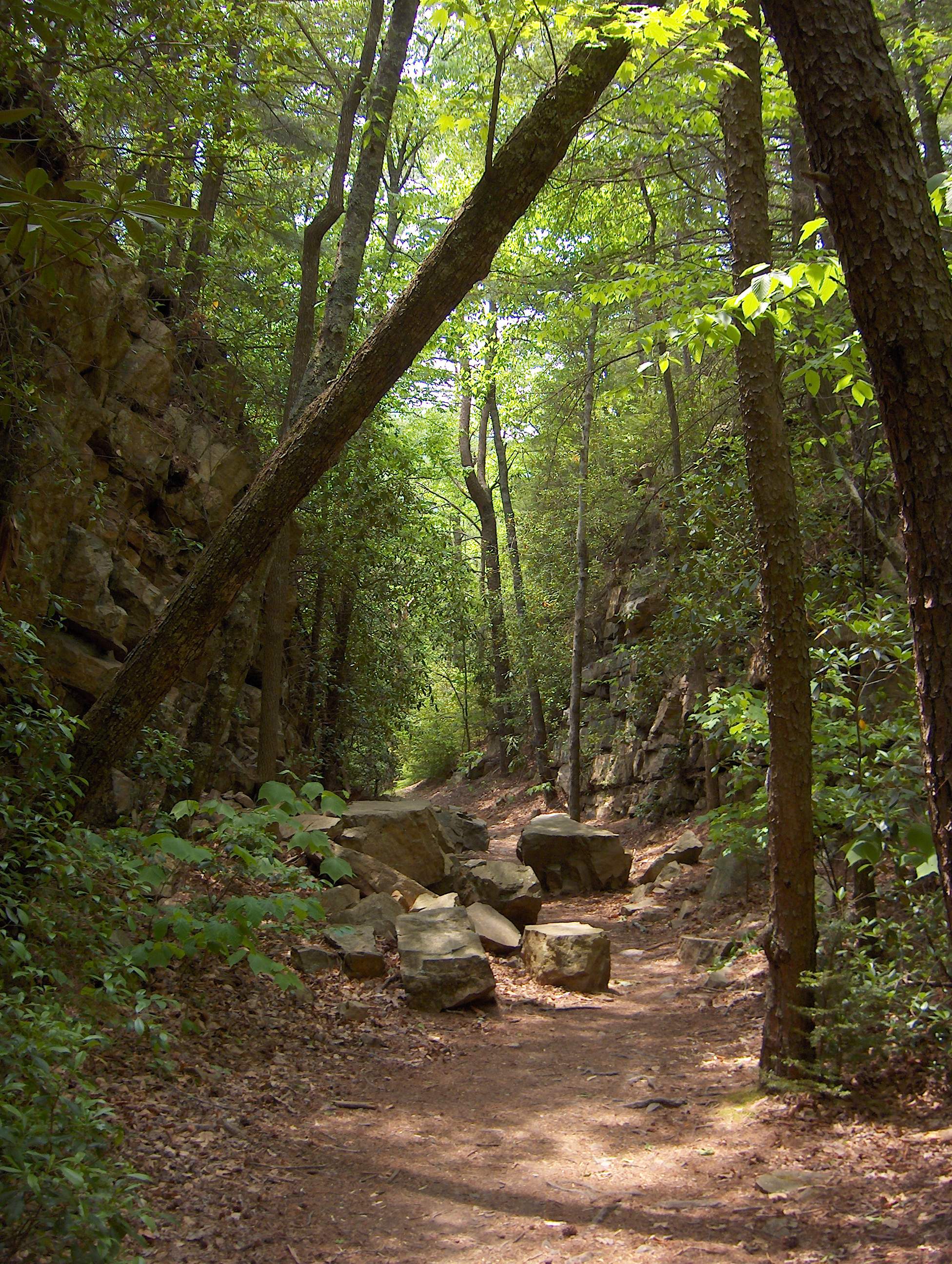
After leaving Dennis Cove, the trail traverses
the rocky and impressive Laurel Fork Gorge. Several series of cascades exists here. Here the trail uses an old
narrow gauge railroad bed.
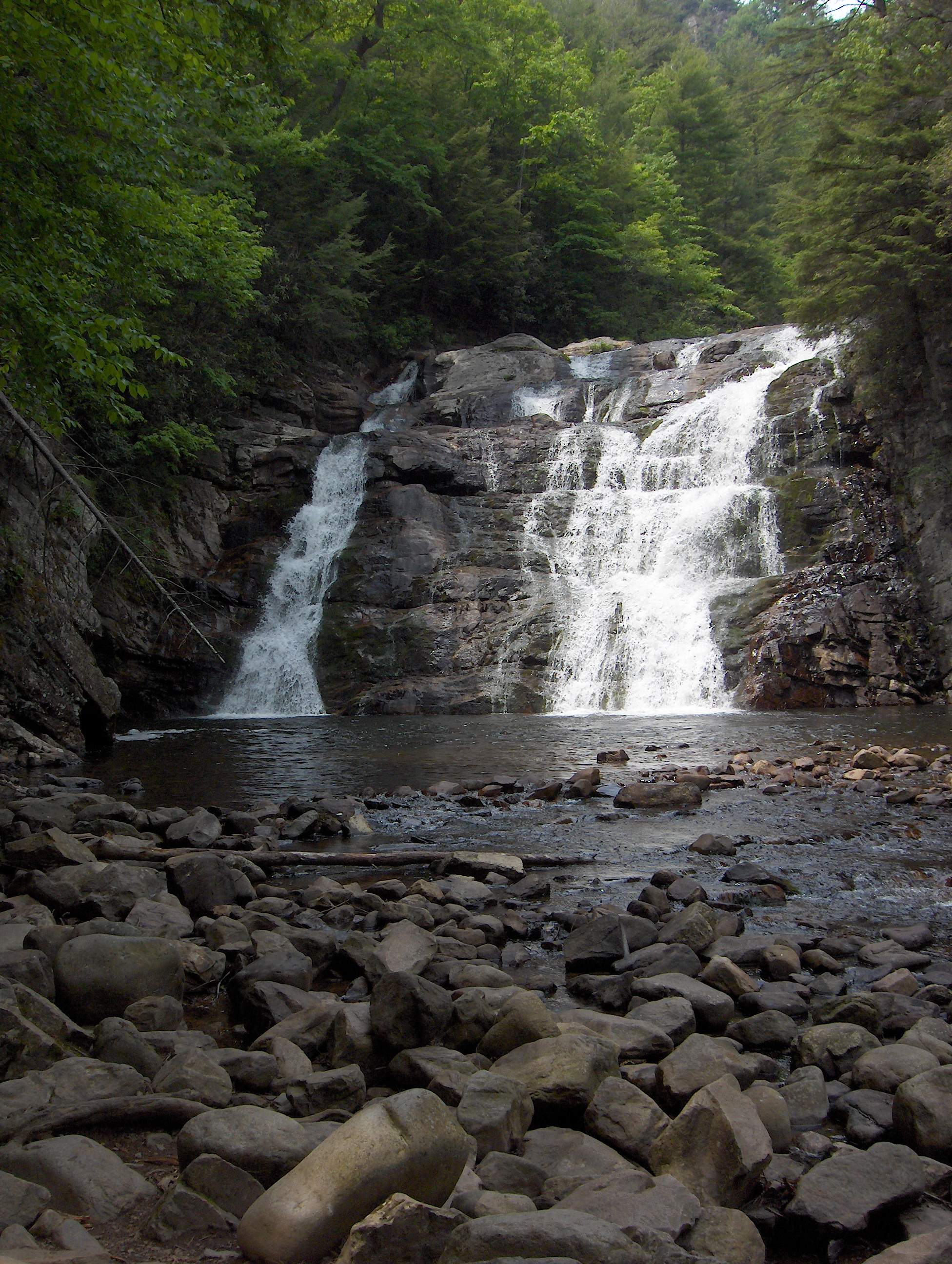
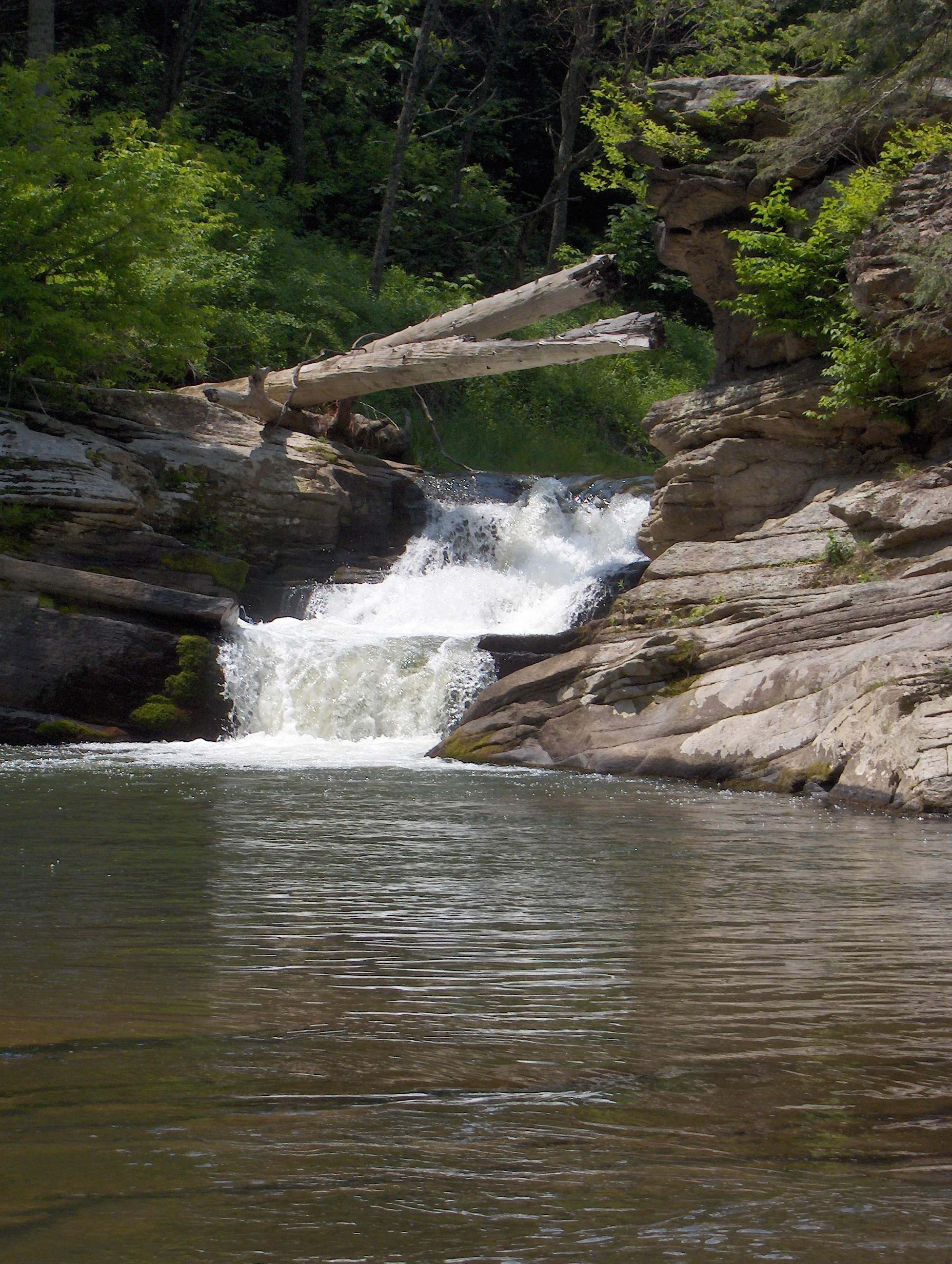
After entering the Laurel Fork Gorge, a short walk
brings the hiker to the Laurel Fork Falls. Usually a powerful waterfall, the drought has reduced the falls to a shadow
of its former glory. Usually the water covers the entire face of the rock.
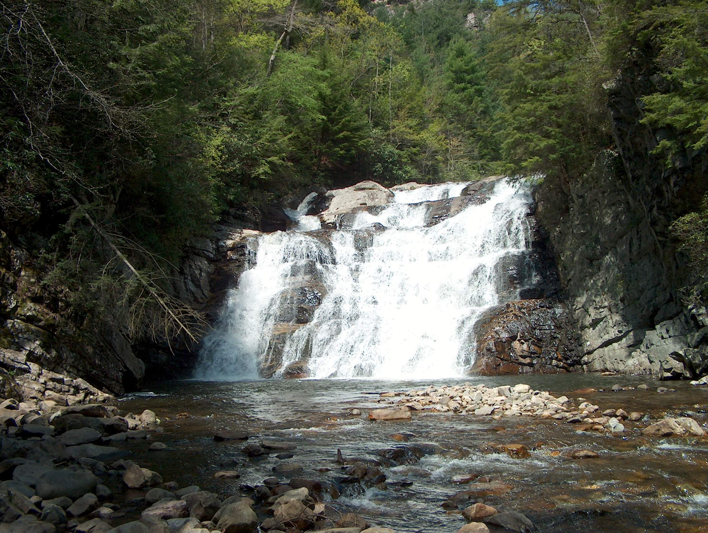
Taken during a previous dayhike to Dennis Cove, this picture shows Laurel Fork
Falls at its normal level of flow.
|